Showing posts with label Kaifeng. Show all posts

Wednesday, March 27, 2024

OSS CBI Photobook 17

 
  Page 17 is the first of several showing us off-duty moments in the HQ near Kaifeng. They seem to have quite a few such moments, and quite a lot of film.

Above: scan of top half of page 17.


 Above: scan of bottom half of page 17.
 
This mode of transport will be featured in stories coming up.

Robichaud, aka Frenchie

This kind of scene became a classic in after years, right?
Looks like blackjack.


Mills, Mills, and Brunner has lists of team members beginning on page 503. Note in the image above that the team name changed over time. 
 
As of May 22, 1945, the eight-member team is set up under Paul Cyr.

Zdrojewski is the only member of the small group that trained together on Catalina who has ended up in JACKAL.

For Friele, at least, we now have a hint. Andrew photoshopped the dollar bill pasted into the Page 16 photomontage:


There's a name we know! Sgt. B. E. Friele. 
 

This photo has the following caption in the "Communications Branch" section
 
"1SG Berent Friele sending a message at SO Team JACKAL, China, 1945. Friele had previously been the radio operator of Jedburgh Team GERALD in France 1944."

Saturday, January 2, 2021

More Finds for the Map Collection

G&C Maps Page has been spiffed up with new additions. 

One comes from the very good overview article Second Sino-Japanese War, which provides discussion, illustration, maps, links to video, and references.

"Japanese Empire's Territorial Expansion" clearly shows the location and year of each move, beginning with the 1874 taking of the Ryukyu Islands, which include Okinawa, and moving on and up through the 1931 invasion of Manchuria and 1939 of Haiman. This illustrates the historical setting of what the US and Allies considered the China Theater of the Pacific War of WWII.


What a relief it was to find a couple of good, readable river maps. This map of the Yellow River (Huang He) shows very clearly the course of the river, its tributaries and basin, basic regional topography, important cities, and surrounding regions. Hsian/Xian, at the junction of the Wei and Jing tributaries, was the OSS center of forward operations in the history we are considering.

One city, part of our story, that is not on this map is Kaifeng. That would be the mysterious Kaifeng-on-the-Dollar-Bill, of which we may or may not ever figure out the meaning.

Kaifeng is located east of Zhengzhou, right at the place where the Yellow River bends to the northeast.

The source of this map is an essay that goes into a lot of detail, on historical courses of the river, for example, or the deliberate 1938 KMT flooding of the Yellow River valley to deter Japanese troops.


A map of the Yangtze has similar advantages in clarity, showing just enough detail of the course, drainage basin, geographical relation to the Yellow and the Pearl Rivers, geographical relation to Tibet, India, Burma, and the coast. It shows us Kunming and Hsian/Xian, clearly and on the same map.


Last but not least, a 1959 set of topographical maps of eastern and southern China is available for download from the University of Texas Libraries. The master map looks like this:

 From the landing page, I clicked on Hsian from the list of major place-names, zoomed in a bit, and took a screenshot of the ancient city and the rivers nearby:

This kind of reading and map study is useful in reminding us of the who-what-when-where of the broader stage and action in which fits our JACKAL story, to which we return.


Wednesday, April 15, 2015

OSS CBI Photobook 16 - Team JACKAL, Black Ducks, Transition to Kaifeng, Part 2, The Dollar

In Part 1, we began the study of Page 16, and noted the transition from the first base camp, somewhere near Kunming, the terminus of the Burma Road, south of the Yangtze.  The majority of the photos on the page are from that location.  

Team JACKAL has moved about a thousand miles to the northeast, to Kaifeng of many canals, on the Yellow River, east of the target destination, Hsien.

The photo top right is the first to show a canal; the photo bottom center shows a houseboat on a canal or a lake.  See how they and the dollar bill slant off - to the northeast, as it were.


Page 16, scan of bottom half.

Eugene Zdrojewski and Albert Robichaud.


Why save this dollar?  Let us take a close look.


C.H. Phelps,
F. A. BucKANAN,
G.A. Cook,
J. KEllEY

S.W. Hart
S.P. LIU

James D. Kelley rotated the bill
and wrote his address:  Pritchard, West Virginia.

Roy Perkins, Jr.

GABRIEL MASH
B'KLYN, N.Y.

The dollar bill is glued to the page with the purple letters backwards.  When we flip the image of the scan, we see this, below.  Can you read the top line?  If so, please let me know.

"KAIFENG, CHINA" is Dad's writing; I can tell you that.


Captain Edward B. Zarembo

Kaifeng


Chinese commando patch.
From the OSS site.


Monday, April 13, 2015

Chinese Commandos in Training - Detail from OSS CBI Photobook 16 - Team JACKAL, Black Ducks, Transition to Kaifeng, Part 1


The OSS website "Primer" section has a short introductory page to Detachment 202.  This photo, from that page, shows Chinese commandos at jump training given by OSS Operational Groups instructors, using a crashed C-47 airplane.

Their hats, in particular, interest us today.  Their hats and uniforms are the same as those of the eager young soldier in Photobook Page 16, introduced in previous post.

Major Wu Ping Lin
 
The Americans and their allies taught the Chinese how to jump, how to fight hand-to-hand, how to perform reconnaissance of the sort required, and how to use plastic explosives.  The objectives were to harry the Japanese, impede their transport, keep them on the defensive in China rather than in reinforcement of their other troops defending the islands of the southwest Pacific, and gather information necessary in the event of an Allied land invasion of China to defeat the Japanese.

Sunday, April 12, 2015

OSS CBI Photobook 16 - Team JACKAL, Black Ducks, Transition to Kaifeng, Part 1


Scan of top half of Page 16

Still on guard for bad guys in that cave!  What's that patch on Dad's left shoulder?


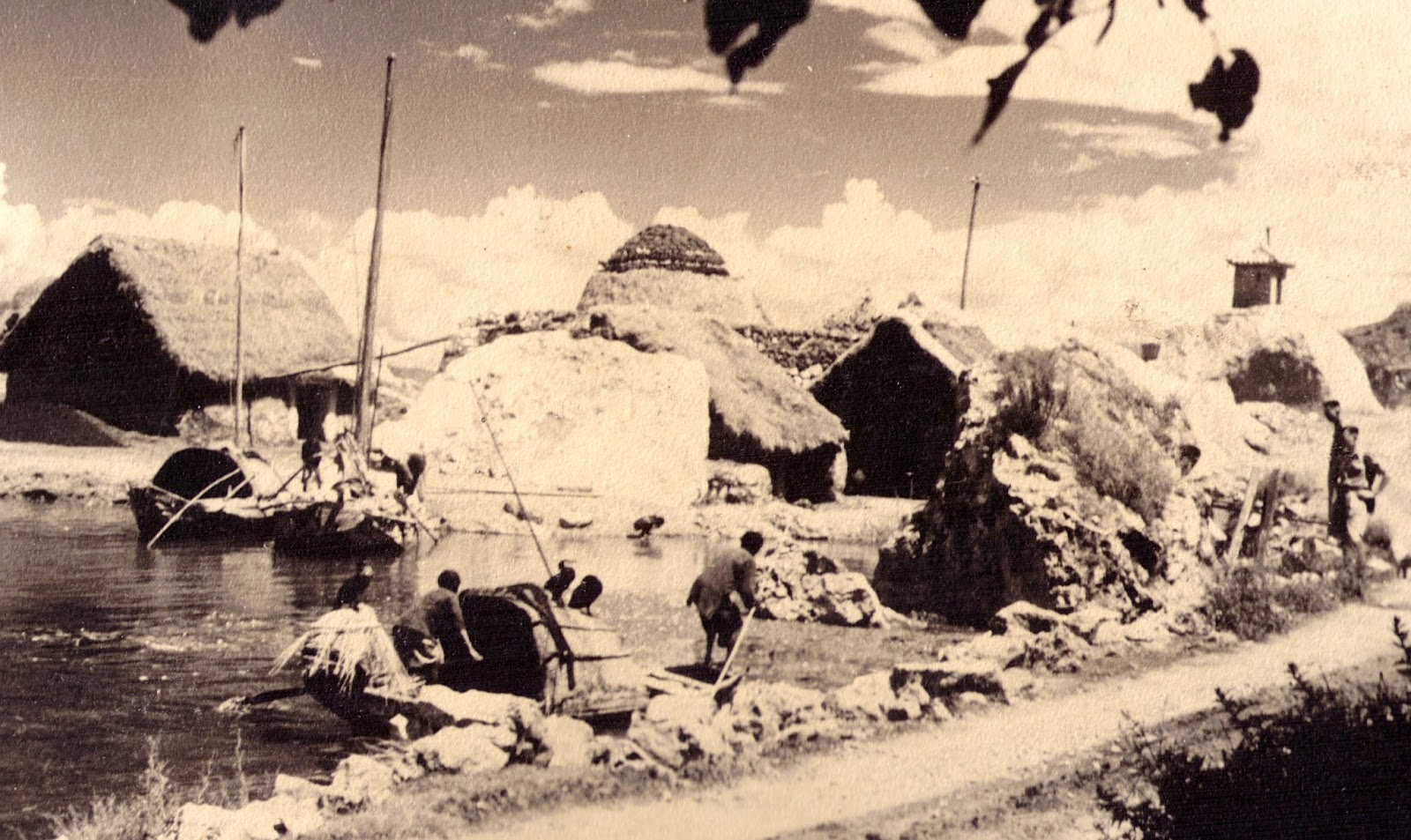
I wonder if this page shows us a transition from the first HQ, from earlier pages, to Kaifeng.  See the masts of the houseboats - and that dome; what is it? - and those black blobs on the nearest houseboat.


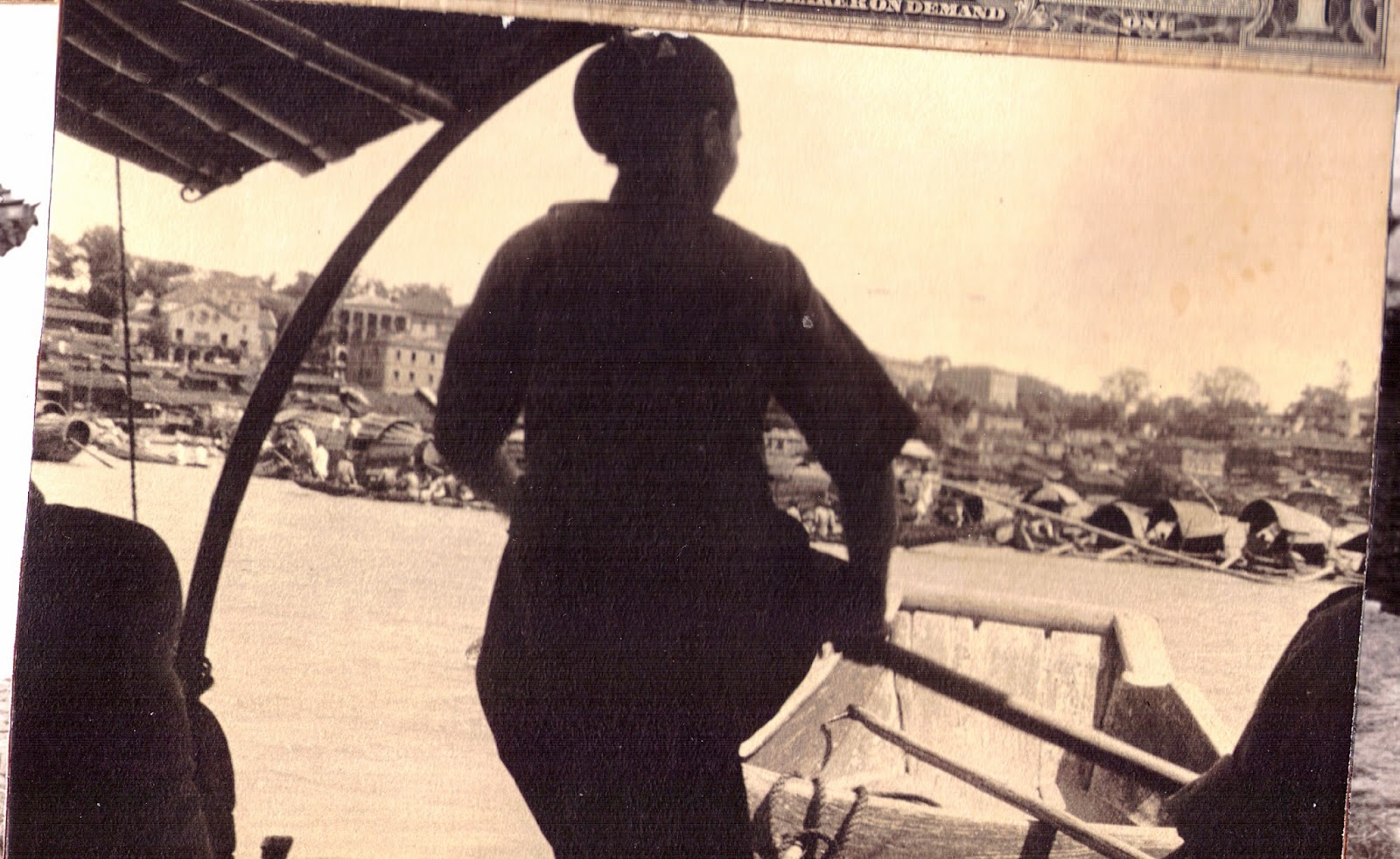
This is as close-in as I can scan it.  Things also become more clear just from straightening the picture.  See the ripples on the water surface?  Those blobs are ducks, black ducks: two on the house roof and one at the stern.  You can see the blade of the oar that the woman is rowing, and the pole being worked by the man in the bow.

Two more houseboats are in the background.  What is the dark blob seemingly attached to the rightmost houseboat?  Maybe it is a gadget; maybe a person is holding a jar.


Some damage shows up in the enlargement, below.


Zdrojewski and Robichaud together.  Frenchie taught Dad some French; I recall it now, and perhaps it explains why he would not let me spend senior year of high school in France as an exchange student.


Details of equipment show up, below, including dog tags, shoulder patch, wristwatch (which we still have), camera, something in his shirt pocket.


Here pops up on enlargement another fine view of the carbine an strap, watch, camera, bracelet.  We have the strap and the jump bracelet.  Now, who is the proud young man bottom right?


Who is he? How come he has no insignia?  The pouch on his belt is stamped "U.S."

Notice what is behind him: a soldier in all the kit (Is it Dad?) on a Kansas mule or Chinese pony. Where are they and what is happening?


UPDATE 2023:
This is Major Wu Ping Lin.
He was on the JACKAL team for the bridges demolition.
His daughter and friends have contacted me;
I have their kind permission to post his memoir.